| Cruise Region : Northern Europe, Europe |
| Company : Azamara Cruises |
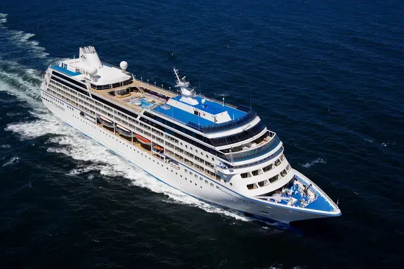
| Ship : Azamara Quest |
| Journey Start : չրք 15 հլս 2026 |
| Journey End : երք 28 հլս 2026 |
| Count Nights : 13 nights |
| Day | Date | Port | Arrival | Departure |
|---|---|---|---|---|
| 1 | 15.07 չրք | Դուբլին / Ireland | ||
| 2 | 16.07 հնգ | Դուբլին / Ireland | 20:00 | |
| 3 | 17.07 ուր | Ազատվեք դրանից / Great Britain | 08:00 | 18:00 |
| 4 | 18.07 շբթ | Լիվերպուլ | 07:00 | |
| 5 | 19.07 կիր | Լիվերպուլ | 22:00 | |
| 6 | 20.07 երկ | Դուգլաս / Maine Island | 09:00 | 20:00 |
| 7 | 21.07 երք | Բելֆաստ / Great Britain | 07:00 | 21:00 |
| 8 | 22.07 չրք | Գրինոկ / Scotland | 07:30 | 21:00 |
| 9 | 23.07 հնգ | Օր ծովում / Sea | ||
| 10 | 24.07 ուր | Ինվերգորդոն / Great Britain | 07:00 | 19:00 |
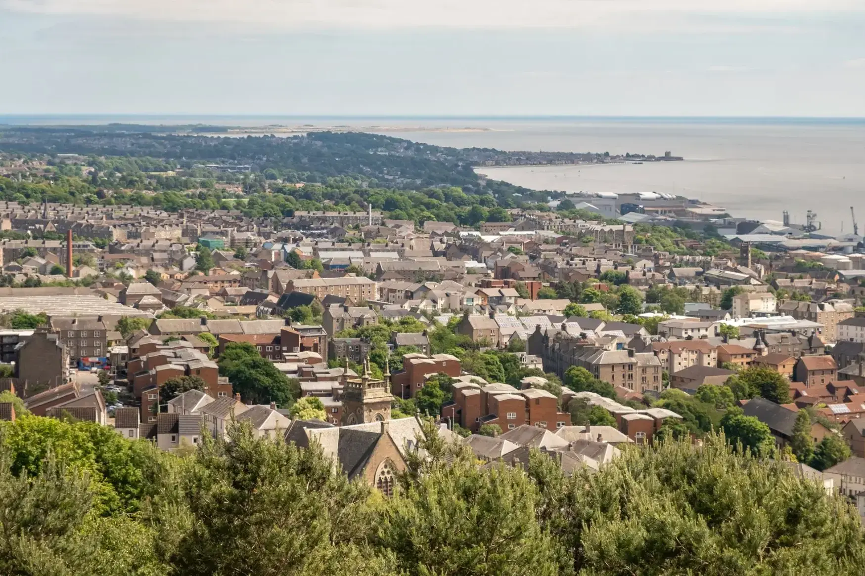
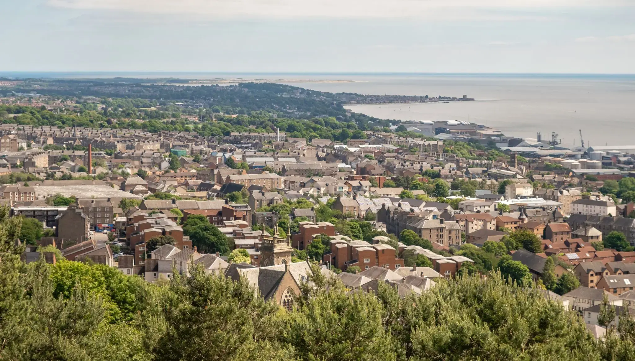
| 11 | 25.07 շբթ | Դանդի / Great Britain | 11:15 | 23:00 |
| 12 | 26.07 կիր | Լեյթ, Էդինբուրգ / Great Britain | 13:45 | |
| 13 | 27.07 երկ | Լեյթ, Էդինբուրգ / Great Britain | ||
| 14 | 28.07 երք | Լեյթ, Էդինբուրգ / Great Britain | 08:00 |
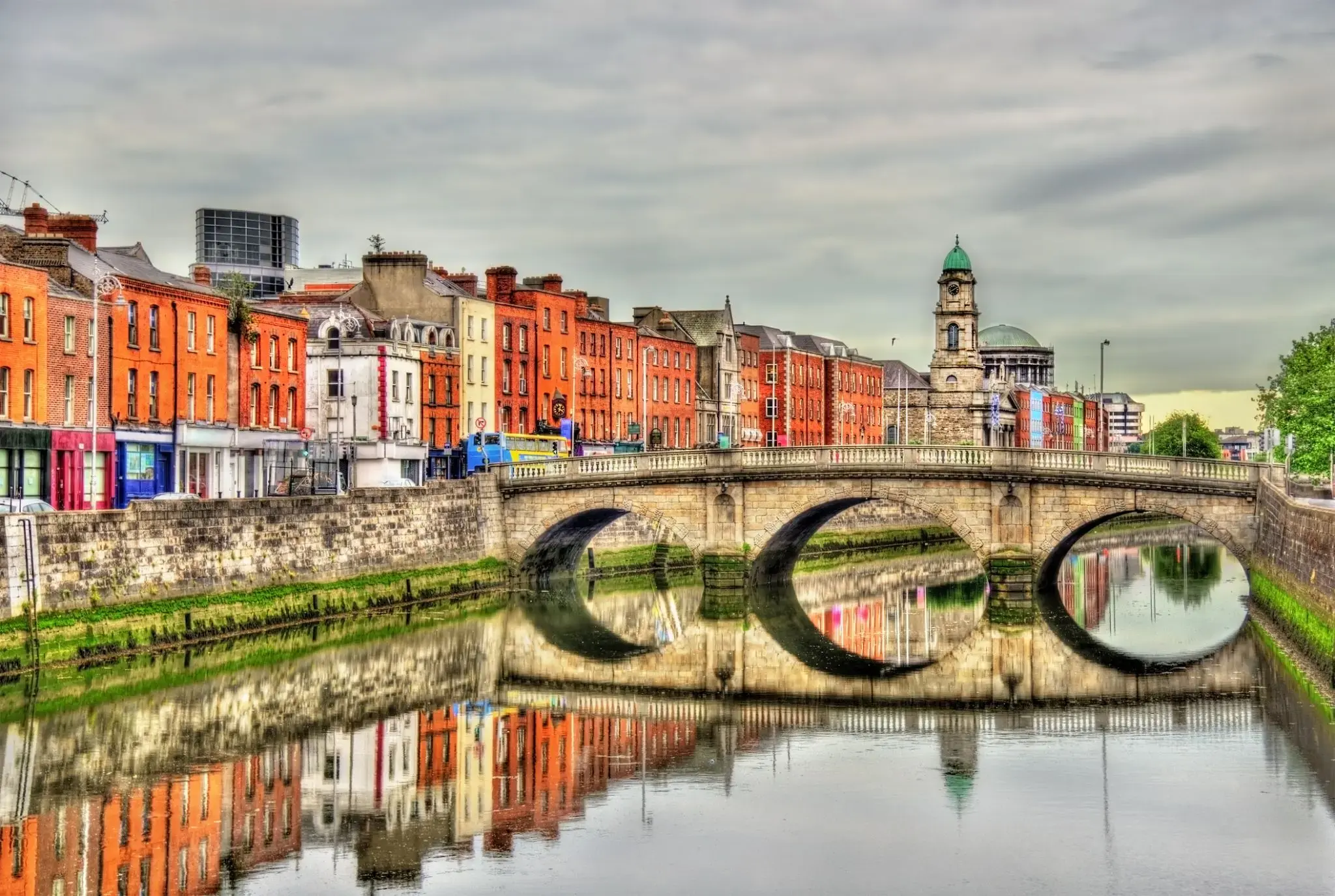
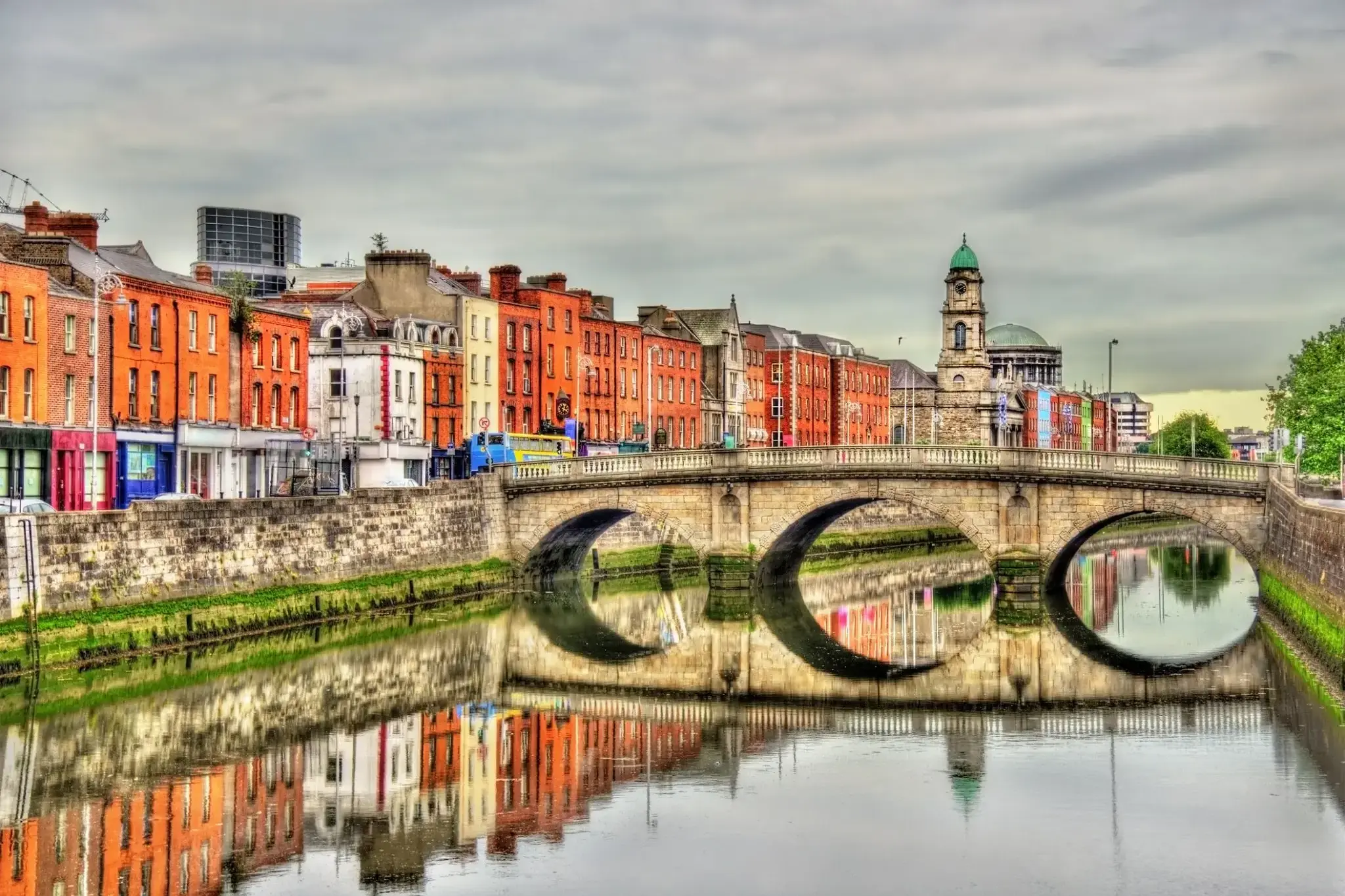
Dublin is the capital of, and largest city in, Ireland. It is on the east coast of Ireland, in the province of Leinster, at the mouth of the River Liffey, and is bordered on the south by the Wicklow mountains. It has an urban area population of 1,173,179, while the population of the Dublin Region (formerly County Dublin), as of 2016, was 1,347,359, and the population of the Greater Dublin area was 1,904,806.
There is archaeological debate regarding precisely where Dublin was established by Celtic-speaking people in the 7th century AD. Later expanded as a Viking settlement, the Kingdom of Dublin, the city became Ireland's principal settlement following the Norman invasion. The city expanded rapidly from the 17th century and was briefly the second largest city in the British Empire before the Acts of Union in 1800. Following the partition of Ireland in 1922, Dublin became the capital of the Irish Free State, later renamed Ireland.
Dublin is a historical and contemporary centre for education, the arts, administration and industry. As of 2018 the city was listed by the Globalization and World Cities Research Network (GaWC) as a global city, with a ranking of "Alpha -", which places it amongst the top thirty cities in the world.
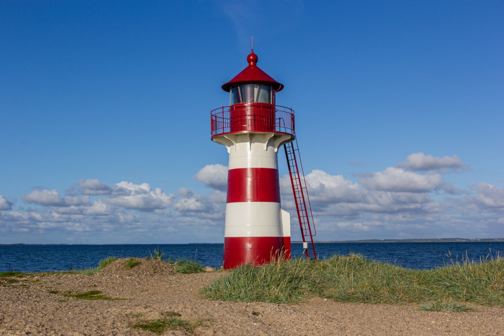

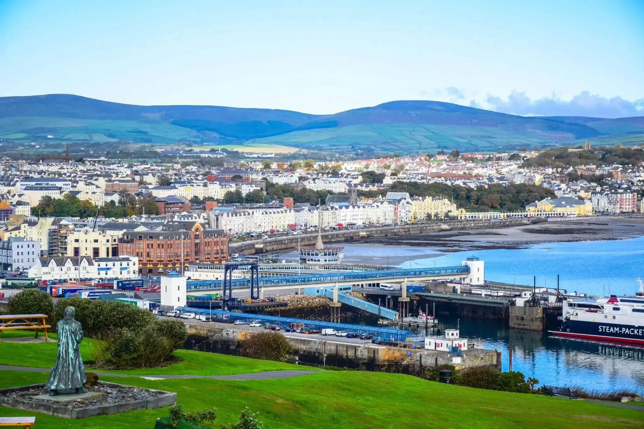
Դուգլասը Մեն կղզու մայրաքաղաքն ու ամենամեծ քաղաքն է, որը գտնվում է Իռլանդական ծովում: Քաղաքը, որը հայտնի է իր հարուստ ծովային պատմությամբ, հայտնի է իր գեղեցիկ ափամերձ տեսարաններով և հարմարավետ մթնոլորտով: Դուգլասում կարելի է զբոսնել պատմական ափամերձ գծով, որտեղ գտնվում են հին շենքեր և ժամանակակից սրճարաններ, ինչպես նաև այցելել տեղական թանգարան, որը պատմում է կղզու ծովային մշակույթի և ավանդույթների մասին: Քաղաքը նաև հայտնի է իր ճարտարապետական հուշարձաններով, ինչպիսիք են ամրոցը և պատմական վիկտորիականական շենքերը, որոնք տալիս են նրան յուրօրինակ հմայք:
Դուգլասի շրջակայքում կան բացօթյա գործունեության համար հիանալի հնարավորություններ, այդ թվում՝ քայլարշավներ, ափամերձ զբոսանքներ և հեծանվային էքսկուրսիաներ: Մեն կղզին հայտնի է իր յուրահատուկ բնությամբ, և զբոսաշրջիկները կարող են վայելել դիտարժան սարերը, գեղեցիկ ծոցերն ու ավանդական գյուղերը: Այս Բրիտանիայի հատվածը գրավում է զբոսաշրջիկներին իր յուրահատուկ մշակույթով, հին ավանդույթներով և գեղեցիկ բնական տեսարաններով, ինչը այն դարձնում է հիանալի վայր՝ հանգիստ արձակուրդների և հետաքրքիր ճամփորդությունների համար:
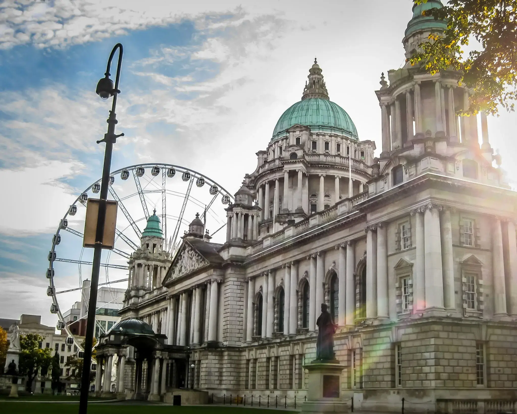
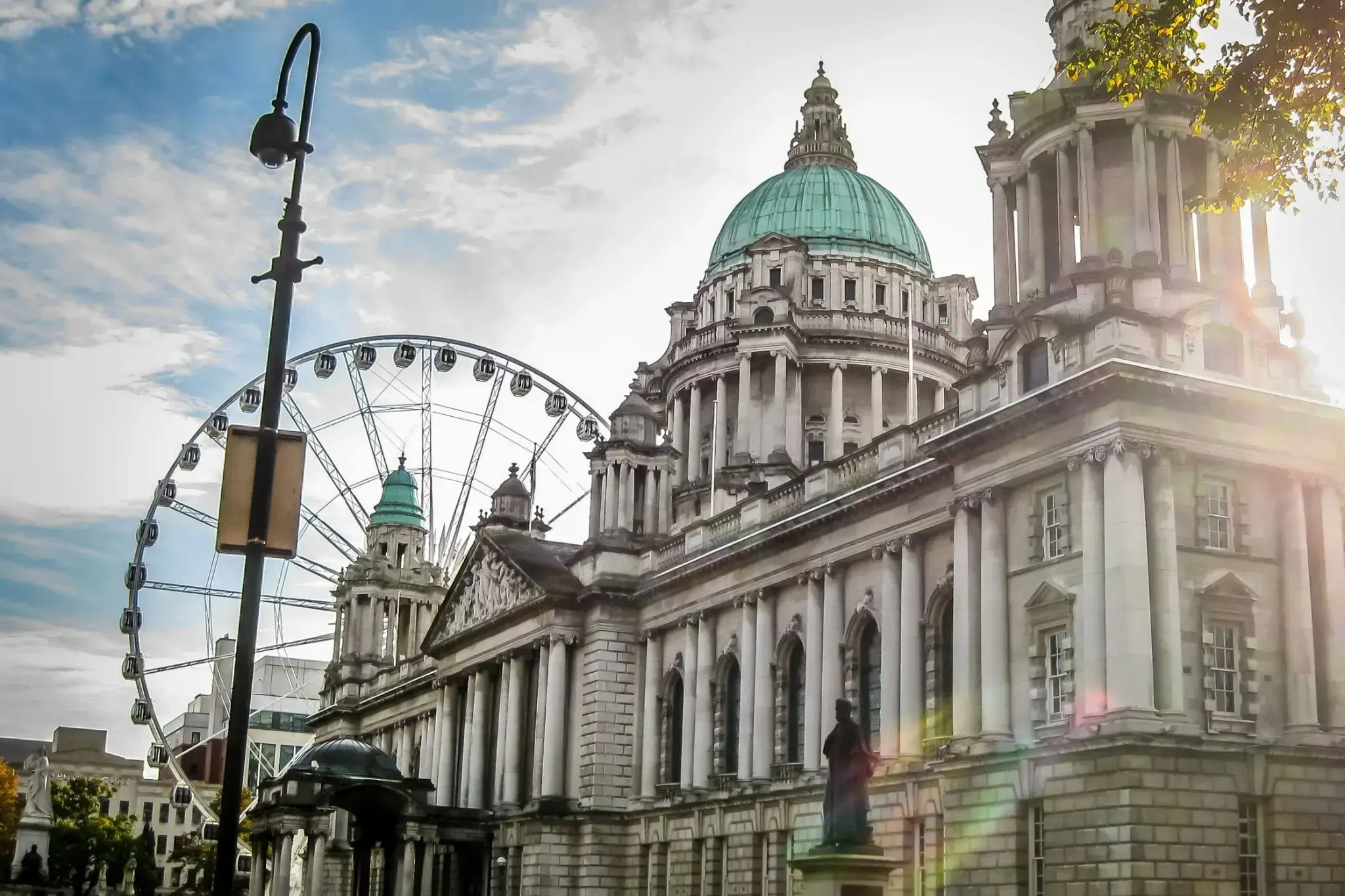
Belfast is a port city in the United Kingdom and the capital city of Northern Ireland, on the banks of the River Lagan on the east coast of Ireland. It is the largest city in Northern Ireland and second largest on the island of Ireland. It had a population of 333,871 in 2015.
By the early 1800s Belfast was a major port. It played a key role in the Industrial Revolution, becoming the biggest linen producer in the world, earning it the nickname "Linenopolis". By the time it was granted city status in 1888, it was a major centre of Irish linen production, tobacco-processing and rope-making. Shipbuilding was also a key industry; the Harland and Wolff shipyard, where the RMS Titanic was built, was the world's biggest shipyard. It also has a major aerospace and missiles industry. Industrialisation and the inward migration it brought made Belfast Ireland's biggest city and it became the capital of Northern Ireland following the Partition of Ireland in 1922. Its status as a global industrial centre ended in the decades after the Second World War.
Belfast suffered greatly in the Troubles, and in the 1970s and 1980s was one of the world's most dangerous cities. However, the city is now considered to be one of the safest within the United Kingdom. Throughout the 21st century, the city has seen a sustained period of calm, free from the intense political violence of former years and has benefitted from substantial economic and commercial growth. Belfast remains a centre for industry, as well as the arts, higher education, business, and law, and is the economic engine of Northern Ireland. Belfast is still a major port, with commercial and industrial docks dominating the Belfast Lough shoreline, including the Harland and Wolff shipyard. It is served by two airports: George Best Belfast City Airport, and Belfast International Airport 15 miles (24 km) west of the city. It is listed by the Globalization and World Cities Research Network (GaWC) as a Gamma global city.

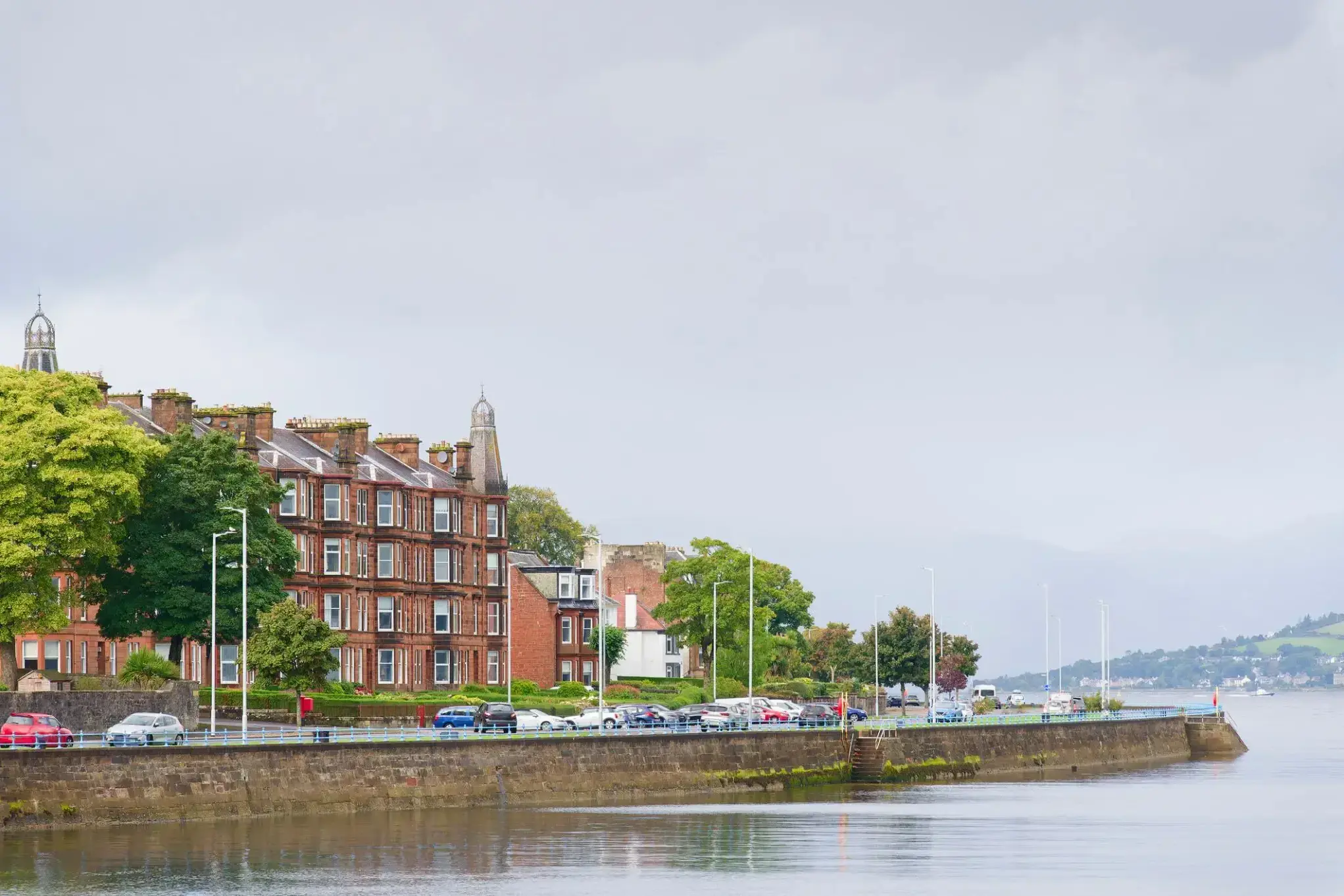
Գրինոքը Շոտլանդիայի քաղաք է, որը գտնվում է հարավ-արևմտյան ափին, Գլազգոյից 32 կիլոմետր արևմուտք: Գրինոքն հիմնադրվել է որպես նավահանգիստ, և նրա պատմական նշանակությունը կապված է նավաշինության և առևտրի զարգացման հետ: Շատ տարիներ շարունակ քաղաքը եղել է կարևոր ծովագնացության կենտրոն, իսկ այսօր այն շարունակում է ծառայել որպես կարևոր տրանսպորտային հանգույց՝ մեծ նավահանգստով և ժամանակակից ենթակառուցվածքով: Գրինոքը նաև հայտնի է իր պատմական շենքերով, ինչպիսիք են Գրինոքի մախլախամահակը, և դրա մերձակայքում գտնվում են նավատորմի թանգարանն ու բազմաթիվ հին պահեստներ, որոնք պահպանել են անցյալի մթնոլորտը:
Զբոսաշրջիկների համար Գրինոքը հետաքրքիր վայր է ծովափնյա զբոսանքների և պուրակներում քայլելու համար, ինչպես նաև հիանալի տեղ է Շոտլանդիայի ծովագնացության պատմությունը ուսումնասիրելու համար: Քաղաքը նաև հայտնի է որպես զբոսաշրջիկների համար իդեալական կետ, քանի որ դրա նավահանգիստը կապում է այն երկրի արևմտյան ափի ամենագեղեցիկ հատվածների հետ: Քաղաքի շրջակայքում կան բազմաթիվ բնական տեսարժան վայրեր՝ այդ թվում՝ հարևան կղզիներ և գեղեցիկ ավազափնյակներ, որտեղ կարելի է հանգստանալ և վայելել ծովի ու ափի գեղեցիկ տեսարանները:
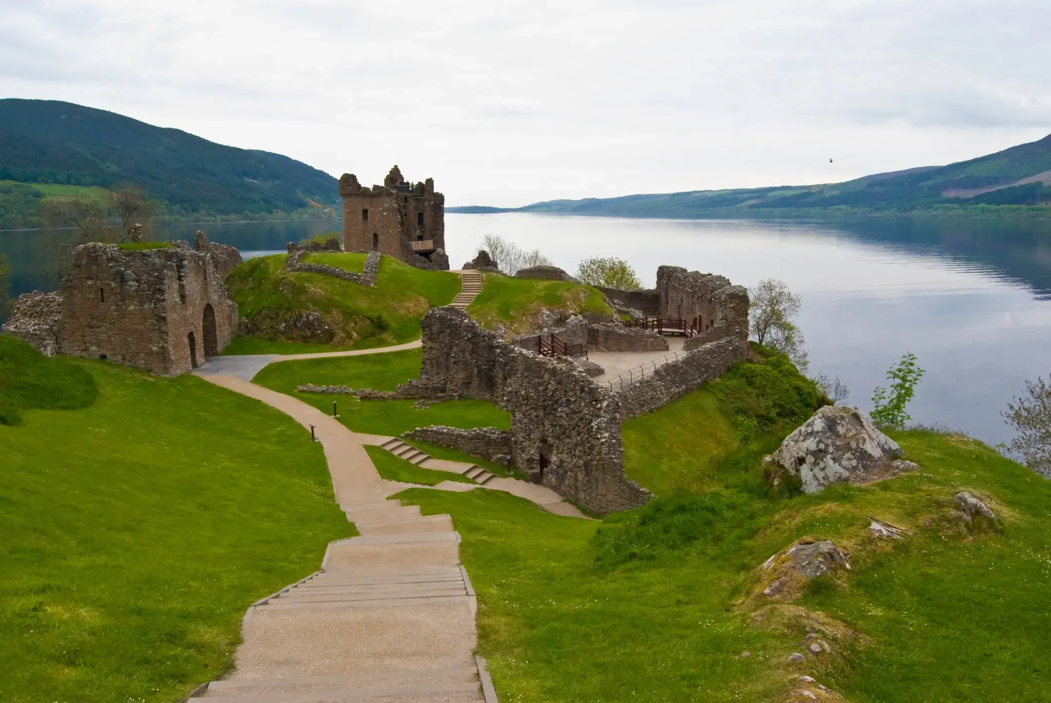
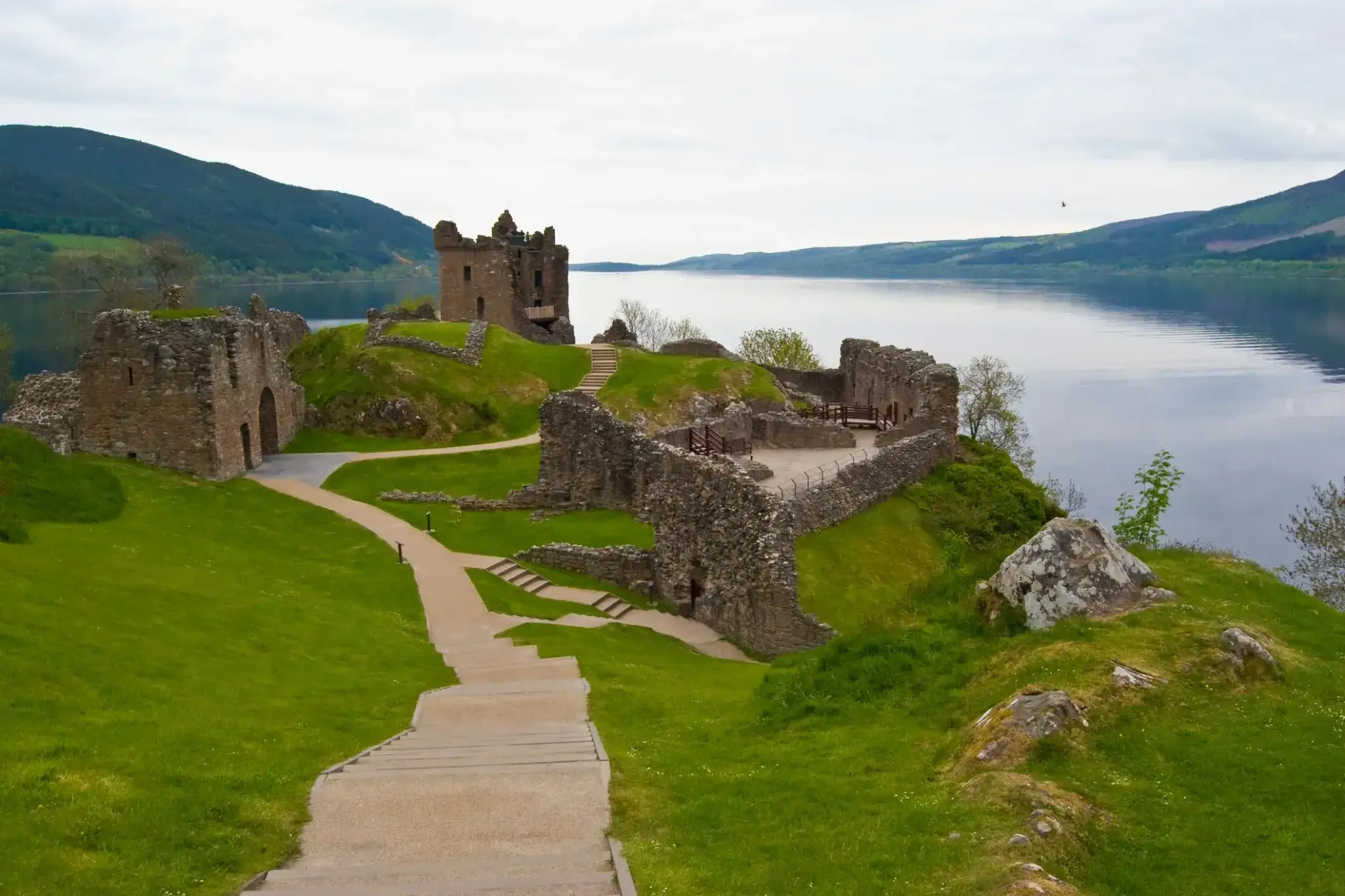
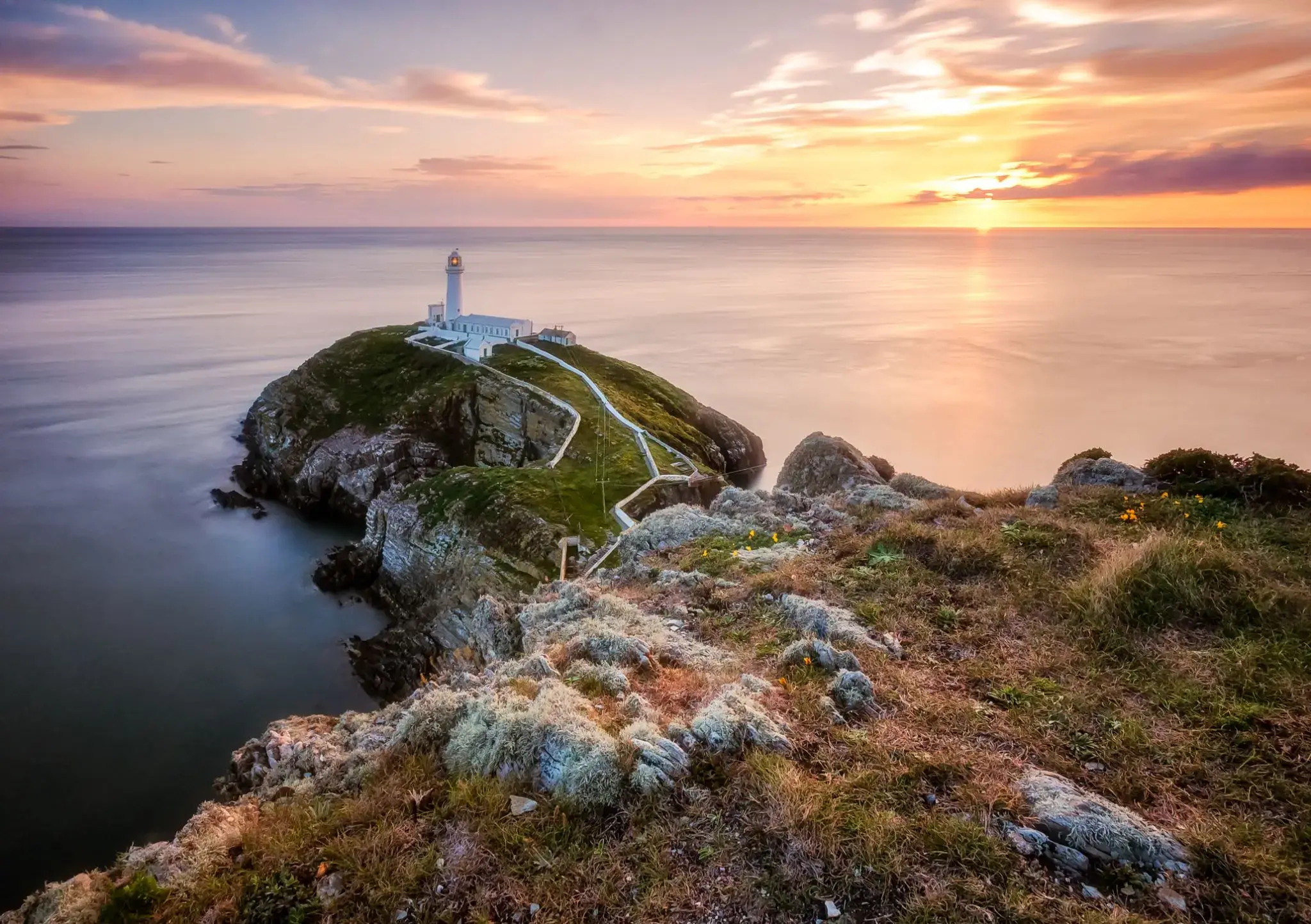
The town is well known for the Invergordon Mutiny of 1931. More recently it has also become known for the repair of oil rigs which line up in the Cromarty Firth on which the town is situated. In the 1970s and 1980s nearby Nigg was known for the construction of these rigs. The yard used for this is now attempting to re-establish itself as a fabricator of large offshore wind turbines and oil rig refurbishment since being purchased by Global Energy Group.
For a number of years Invergordon was the site of an aluminium smelter until 1981 when British Aluminium closed it down. The pipeline that covered the conveyor belt from the smelter to the BA pier was not dismantled until the early 2000s and the two large tanks still stand today as well as a water tower.
It still has a grain whisky distillery, operated by Philippines-owned whisky giant Whyte and Mackay, the output of which contributes to many blended whiskies. Connected to the distillery was the Invergordon Distillery Pipe Band.
At present the port is visited by many large cruise liners each year, as the deep water port allows disembarkation for coach tours in the northern Highlands.
Since the 1970s some would perceive the town as a 'Glasgow colony', since many workers were recruited from southern Scotland to work in the oil rig fabrication and aluminium smelting industries. As a result, the residents' accents often show more influence from Glasgow, than the surrounding Easter Ross dialect of Highland Englishalthough this has changed in recent years.
In recent years Global Energy Group have been expanding, with the purchase of the Nigg fabrication yard it has also brought much appreciated work to Invergordon's Docks with the town again full of oil company workers through the day.
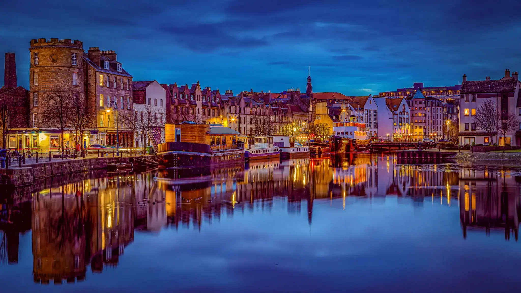
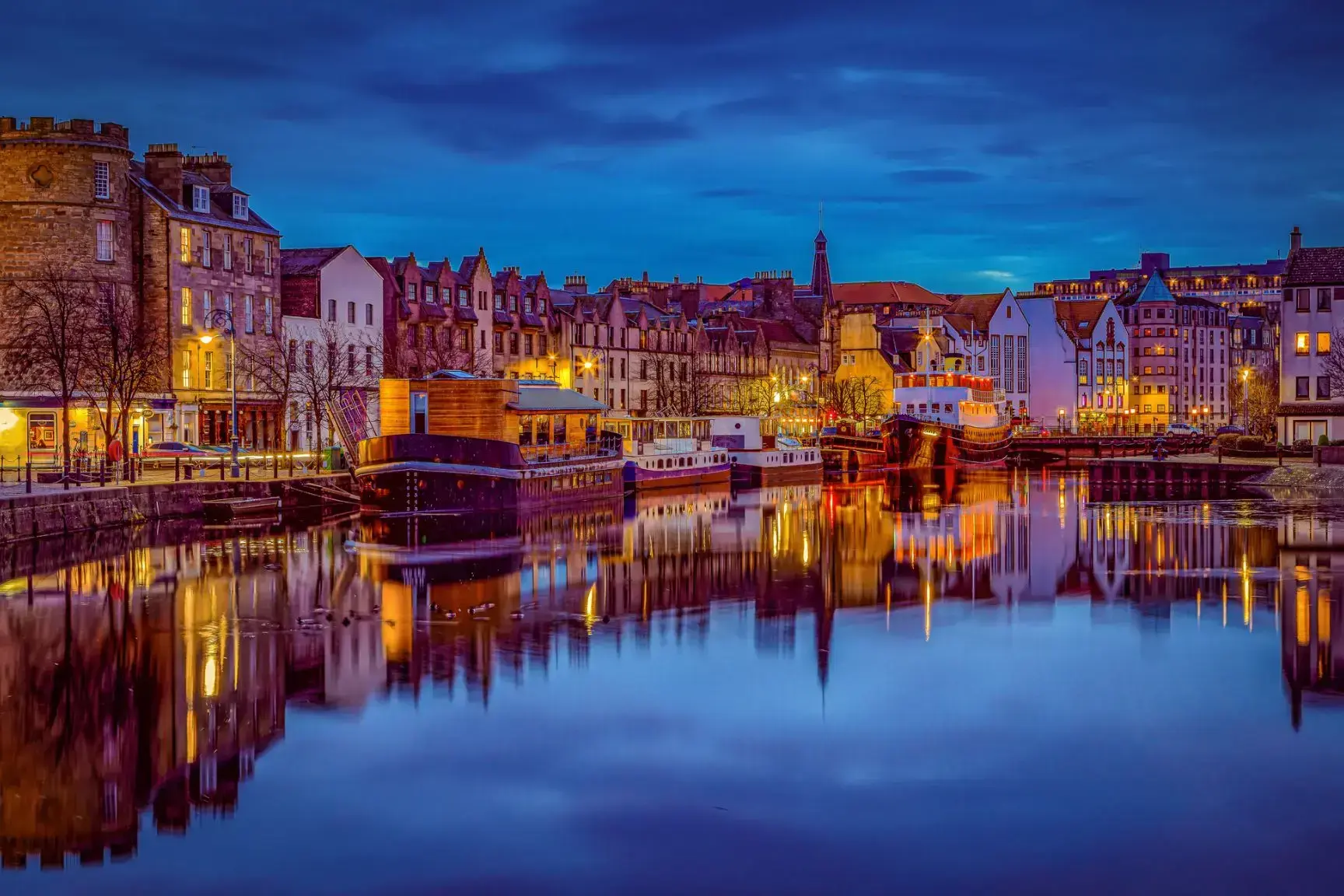
Leith is an area to the north of the city of Edinburgh, Scotland, at the mouth of the Water of Leith.
The earliest surviving historical references are in the royal charter authorising the construction of Holyrood Abbey in 1128. The medieval settlements of Leith had grown into a burgh by 1833, and the burgh was merged into Edinburgh in 1920.
Historically part of the county of Midlothian, Leith is sited on the coast of the Firth of Forth and lies within the council area of the City of Edinburgh.
The port remains one of its most valuable enterprises, handling over 1.5 million tonnes of cargo in 2003.
Previous to the bridge being built in the late 15th century, Leith had settlements on either side of the river, lacking an easy crossing.
South Leith was larger and was controlled by the lairds of Restalrig: the Logan family. It was based on trade and had many merchants' houses and warehouses. This was where ships offloaded their cargoes at The Shore where they were collected by Edinburgh merchants. Leithers were explicitly forbidden by statute to participate directly in the trade at the port, to ensure that landed goods were not sold elsewhere.
North Leith was smaller but proportionately richer, coming under the jurisdiction of Holyrood Abbey. It was effectively a fishing village consisting of one street, now Sandport Street and Quayside Lane. Burgage plots ran down to the river from each house.[6] This has traditionally been the shipbuilding side of Leith with several wet and dry docks built over time. The first dry dock in Scotland was built here in 1720. A small peninsula of land on the east bank also came under the same jurisdiction on what is now Sheriff Brae/Sheriff Bank.
The first bridge to link both banks of the river was built in 1493 by Abbot Bellenden, who controlled the church at North Leith. The bridge was a toll bridge, the revenue supplementing the church's income. Reputedly Leith's oldest building, it was demolished in 1780 to allow ships to sail further upstream.