| Cruise Region : Northern Europe |
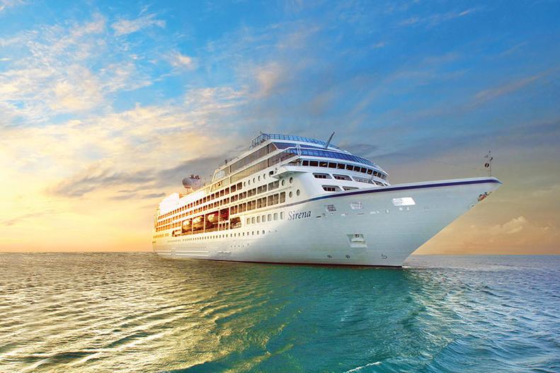
| Company : Oceania Cruises |
| Ship : Sirena |
| Journey Start : հնգ 31 հլս 2025 |
| Journey End : երկ 11 օգս 2025 |
| Count Nights : 11 nights |
| Day | Date | Port | Arrival | Departure |
|---|---|---|---|---|
| 1 | 31.07 հնգ | Ռեյկյավիկ / Iceland | 07:00 | |
| 2 | 1.08 ուր | Ռեյկյավիկ / Iceland | 21:00 | |
| 3 | 2.08 շբթ | Գրունդարբյորդդուր / Iceland | 08:00 | 18:00 |
| 4 | 3.08 կիր | Իսաֆյորդուր / Iceland | 08:00 | 18:00 |
| 5 | 4.08 երկ | Ակուրեյրի / Iceland | 08:00 | 18:00 |
| 6 | 5.08 երք | Seydisfjordur / Iceland | 09:00 | 22:00 |
| 7 | 6.08 չրք | Ջուպիվոգուր / Iceland | 07:00 | 17:00 |
| 8 | 7.08 հնգ | Տորշավն / Faroe Islands | 12:00 | |
| 9 | 8.08 ուր | Տորշավն / Faroe Islands | 22:00 | |
| 10 | 9.08 շբթ | Օր ծովում / Sea | ||
| 11 | 10.08 կիր | Heimaey Vestmannaeyjar կղզի | 08:00 | 19:00 |
| 12 | 11.08 երկ | Ռեյկյավիկ / Iceland | 06:00 | 18:00 |
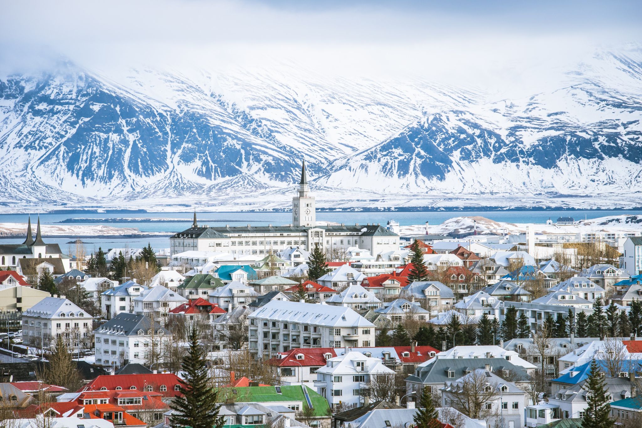
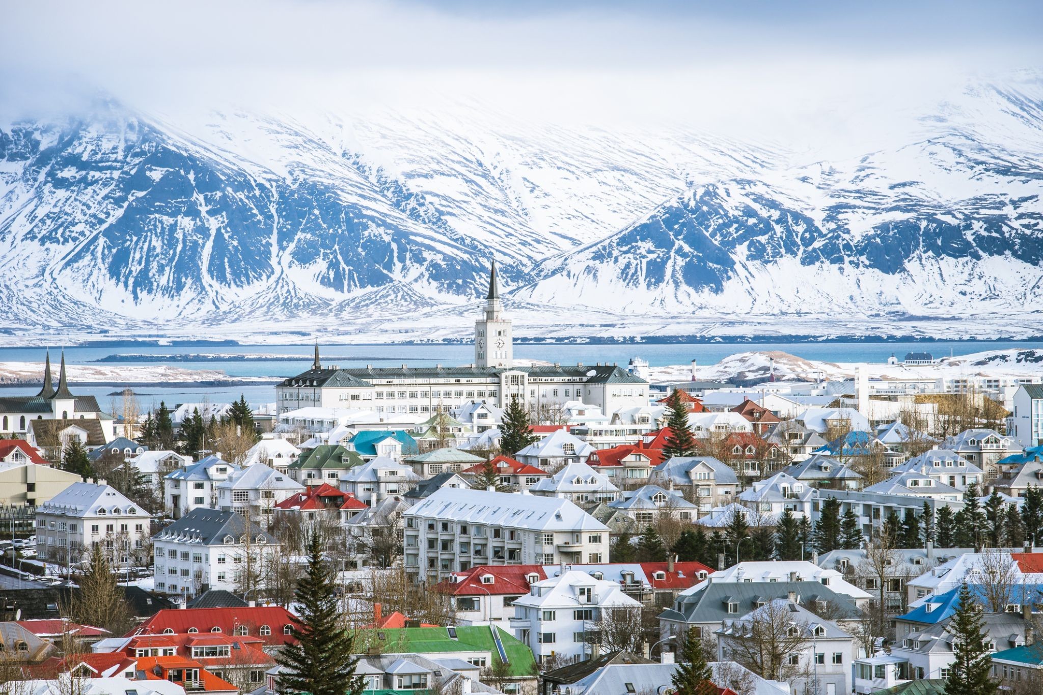
Reykjavík is the capital and largest city of Iceland. It is located in southwestern Iceland, on the southern shore of Faxa Bay. Its latitude is 64°08' N, making it the world's northernmost capital of a sovereign state. With a population of around 123,300 (and over 216,940 in the Capital Region), it is the heart of Iceland's cultural, economic and governmental activity, and is a popular tourist destination.
Reykjavík is believed to be the location of the first permanent settlement in Iceland, which, according to Ingólfr Arnarson, was established in AD 874. Until the 19th century, there was no urban development in the city location. The city was founded in 1786 as an official trading town and grew steadily over the following decades, as it transformed into a regional and later national centre of commerce, population, and governmental activities. It is among the cleanest, greenest, and safest cities in the world.
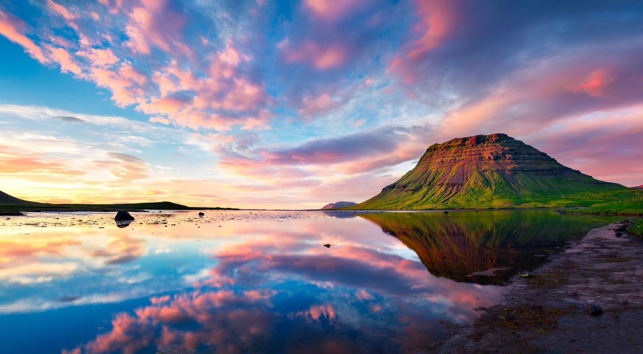
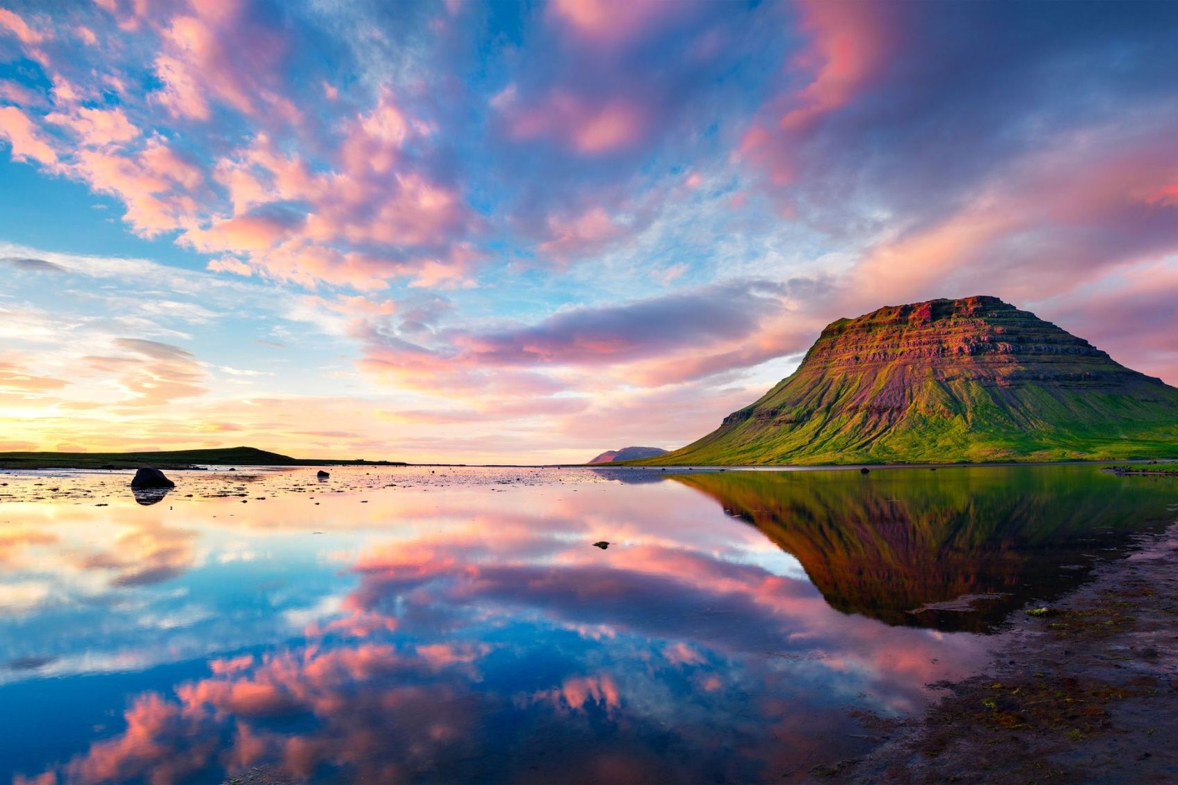
Գրունդարբյորդդուր՝ Իսլանդիայի արևմտյան ափին գտնվող գեղեցիկ քաղաք է, որը գտնվում է Քիրքյուֆել լեռան ստորոտում։ Այս փոքրիկ բնակավայրն իր հիասքանչ տեսարաններով գրավում է զբոսաշրջիկներին՝ բացահայտելով ֆյորդերի ու լեռնային լանդշաֆտների գեղեցկությունը, ինչպես նաև եզակի բնությունը, որին բնորոշ են բազմաթիվ ջրվեժներ ու գեոթերմալ աղբյուրներ։ Մ régionի գլխավոր տեսարժան վայրերից մեկն է Քիրքյուֆել լեռը, որը հայտնի է իր բնորոշ մերկության և լուսանկարիչների շրջանում ունեցած տարածմամբ։ Գրունդարբյորդդուրը գերազանց մեկնարկային կետ է ուսումնասիրելու մոտակա բնական վայրերը՝ Սկաֆտաֆել ազգային պարկը և Սկաֆտաթալ սառցադաշտը։
Ակտիվ հանգիստը սիրող զբոսաշրջիկները Գրունդարբյորդդուրում կարող են վայելել ձկնորսություն, ոտքով զբոսանքներ և թռչունների դիտում։ Քաղաքում կարելի է գտնել նաև հարմարավետ սրճարաններ ու ռեստորաններ, որոնք առաջարկում են թարմ ծովամթերք և ավանդական իսլանդական ճաշեր։ Բացի այդ, Գրունդարբյորդդուրն գտնվում է Իսլանդիայի հիմնական զբոսաշրջային ուղիներից մոտ՝ դարձնելով այն հարմարավետ կանգառ՝ երկրի հայտնի բնական հրաշքները ուսումնասիրելու ճանապարհին։
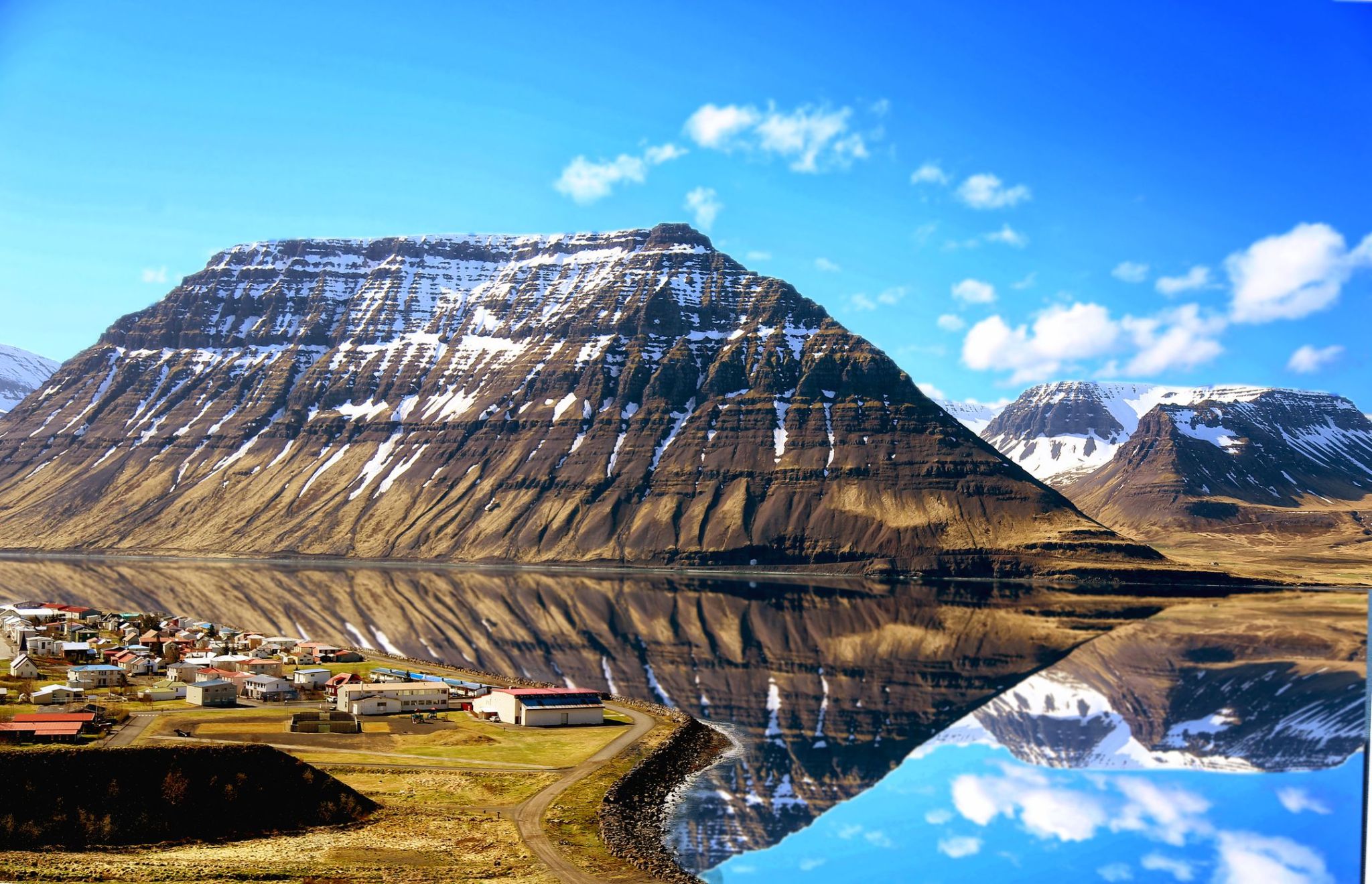
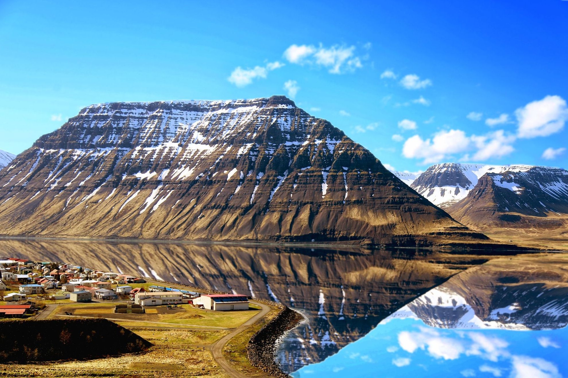
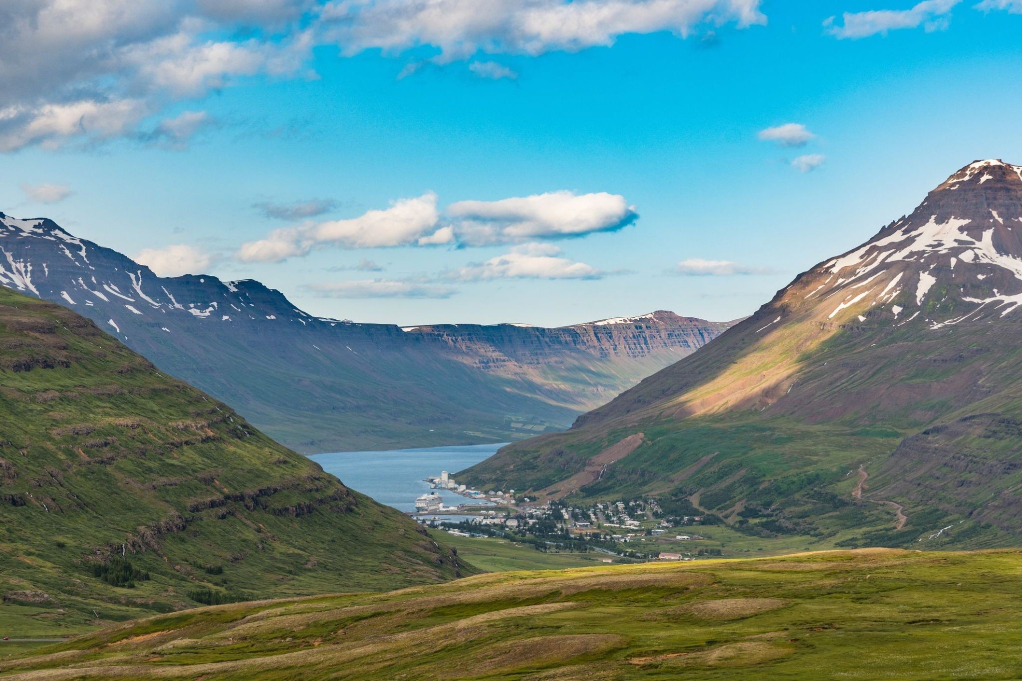
Isafjörður, meaning ice fjord or fjord of ice, ice in plural genitive) is a town in the northwest of Iceland.
The oldest part of Ísafjörður with the town centre is located on a spit of sand, or eyri, in Skutulsfjörður, a fjord which meets the waters of the larger fjord Ísafjarðardjúp. With a population of about 2,600, Ísafjörður is the largest settlement in the peninsula of Vestfirðir (Westfjords) and the administration centre of the Ísafjarðarbær municipality, which includes – besides Ísafjörður – the nearby villages of Hnífsdalur, Flateyri, Suðureyri, and Þingeyri.
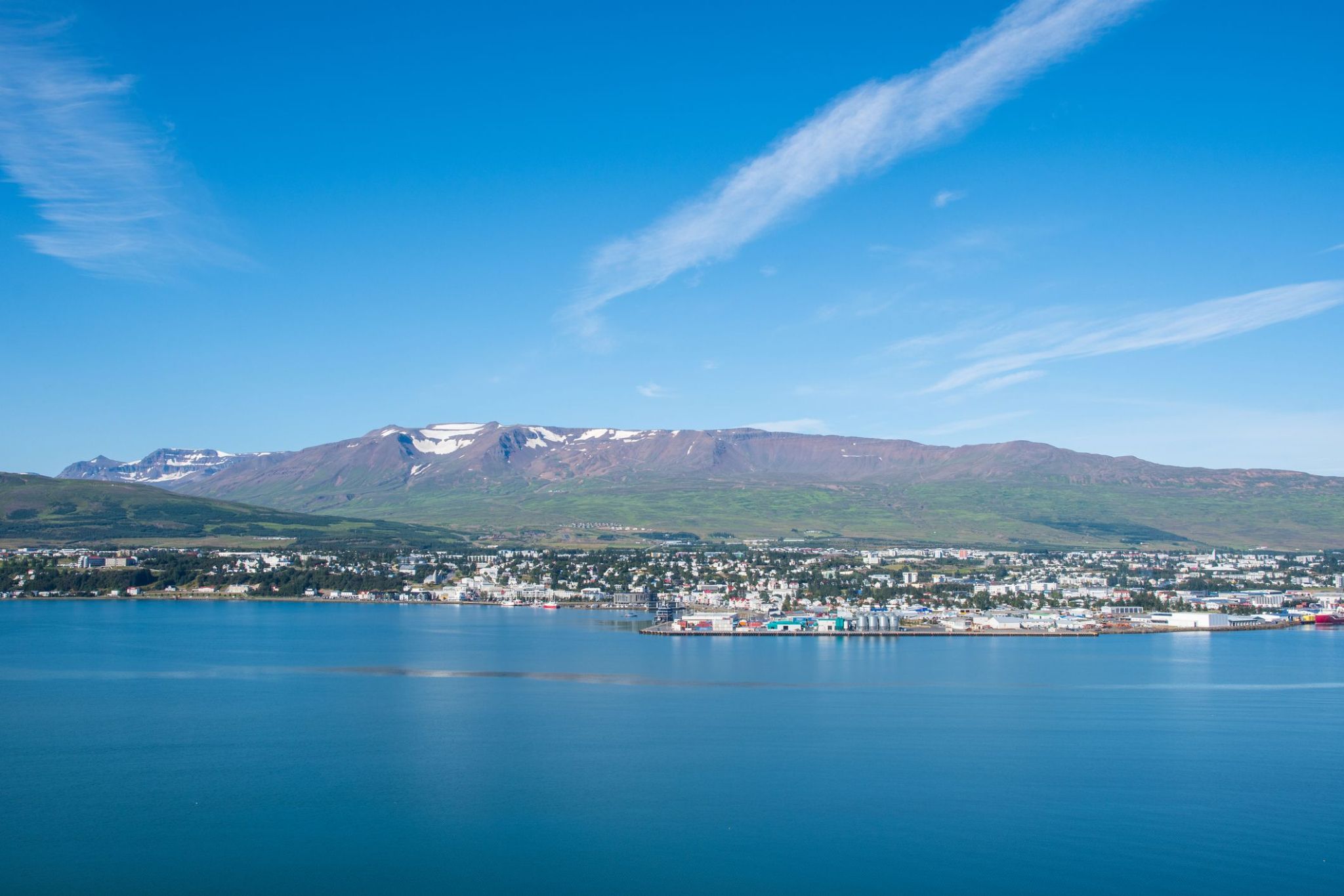
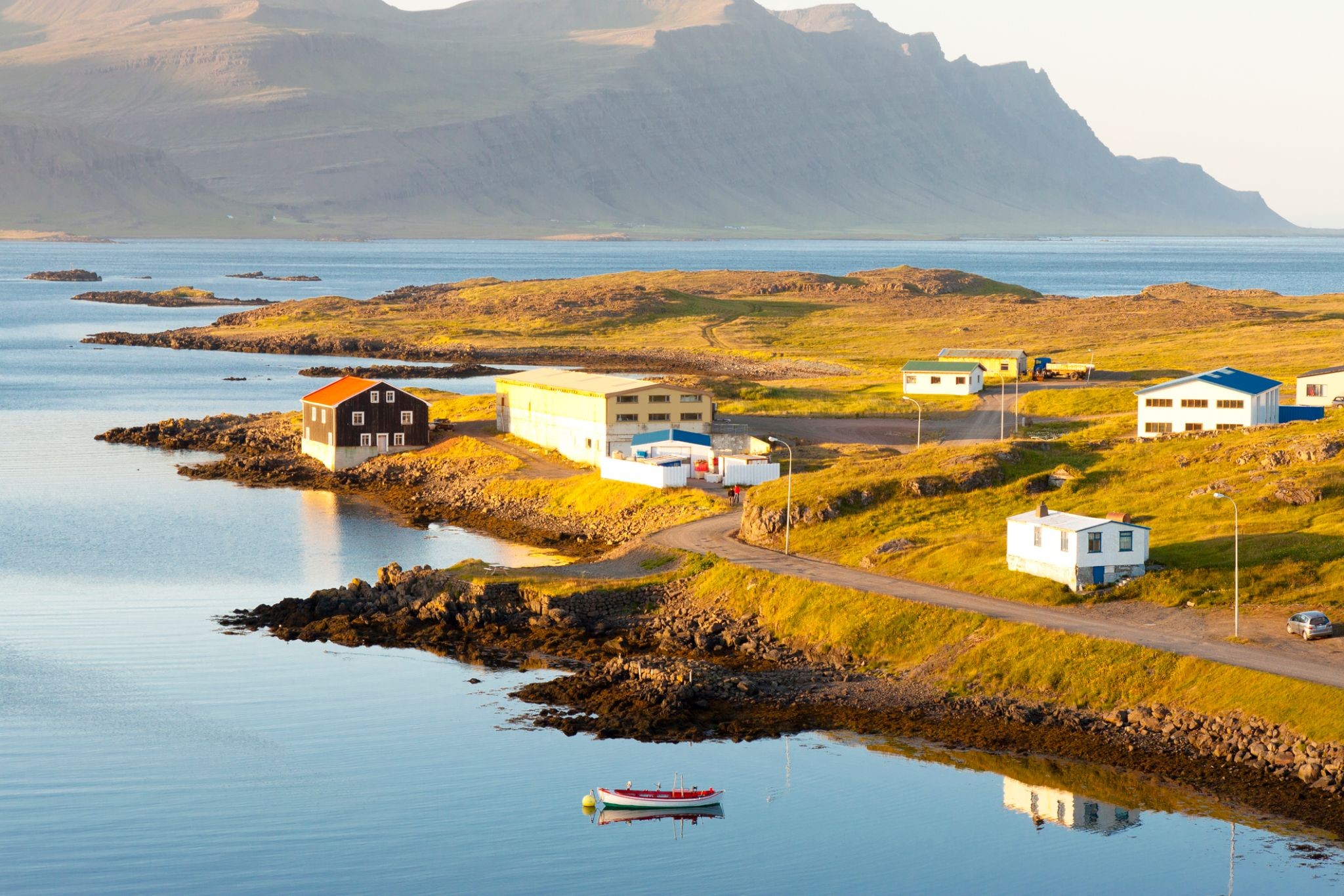
Akureyri is a town in northern Iceland. It is Iceland's Fifth largest municipality.
Nicknamed the Capital of North Iceland, Akureyri is an important port and fishing centre. The area where Akureyri is located was settled in the 9th century but did not receive a municipal charter until 1786. The town was the site of Alliedunits during World War II. Further growth occurred after the war as the Icelandic population increasingly moved to urban areas.
The area has a relatively mild climate because of geographical factors, and the town's ice-free harbour has played a significant role in its history.

Իսլանդիայի ֆյորդների մեջ հարմարավետորեն թաքնված Սեյդիսֆյորդուր-ը գրավում է ճանապարհորդներին իր գունագեղ տներով և ստեղծագործ միջավայրով։ Այս փոքրիկ նավահանգստային քաղաքը կենդանանում է հյուսիսային արևի առաջին ճառագայթների հետ․ օդը լցված է ծովի հոտով, տեղական սրճարանների սուրճի բույրով և Ատլանտյան օվկիանոսից եկող թարմ քամով։ Սեյդիսֆյորդուր-ը հայտնի է իր արվեստի ցուցասրահներով և երաժշտական միջոցառումներով, իսկ ամռանը այստեղ անցկացվում է LungA արվեստի փառատոնը, որն այցելում են երիտասարդ նկարիչներ և երաժիշտներ ամբողջ աշխարհից։
Փայտե արահետներով ծովածոցի երկայնքով զբոսնելը հնարավորություն է տալիս զգալ իսլանդական գյուղական կյանքի դանդաղ ռիթմը, իսկ մոտակայքում թաքնված են տպավորիչ ջրվեժներ և լեռնական արահետներ, որոնք տանում են շունչ կտրող տեսարանների։ Տուրիստները կարող են այցելել 1922 թվականին կառուցված հին նորվեգական եկեղեցին, հայտնի կապույտ եկեղեցին Սեյդիսֆյորդուր-ում, ապա հանգստանալ տեղական սրճարաններում՝ վայելելով թարմ թխվածք և հենց ֆյորդի ափերից որսված ձուկ։ Իսլանդիայի այս անկյունը ներշնչում է նրանց, ովքեր փնտրում են մենակություն, լռություն և ցանկանում են տեսնել հյուսիսի իսկական կյանքը։

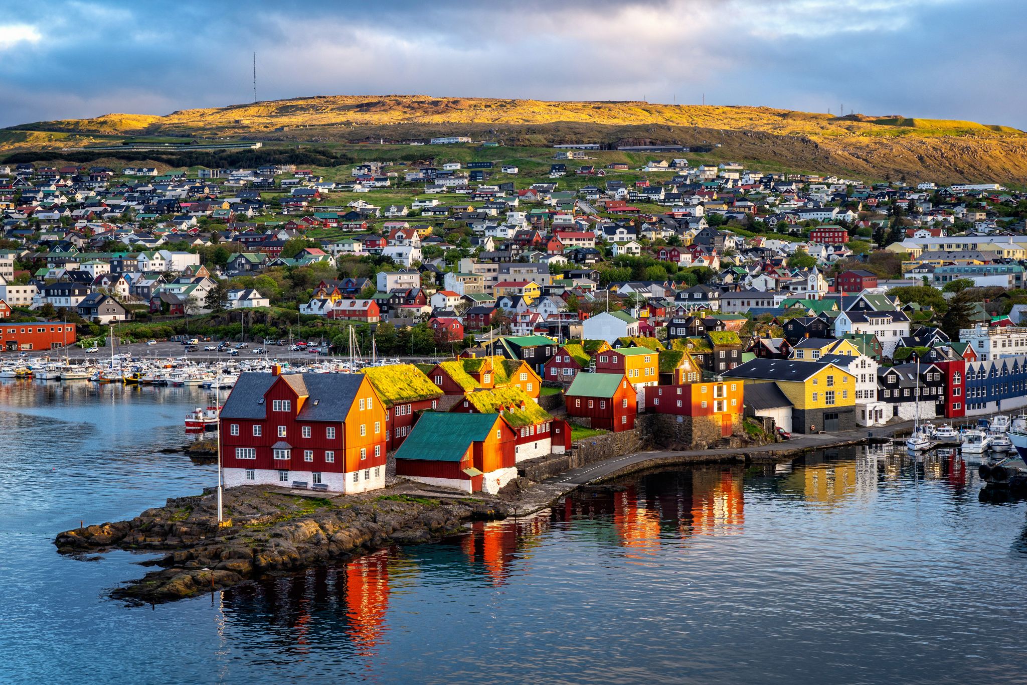
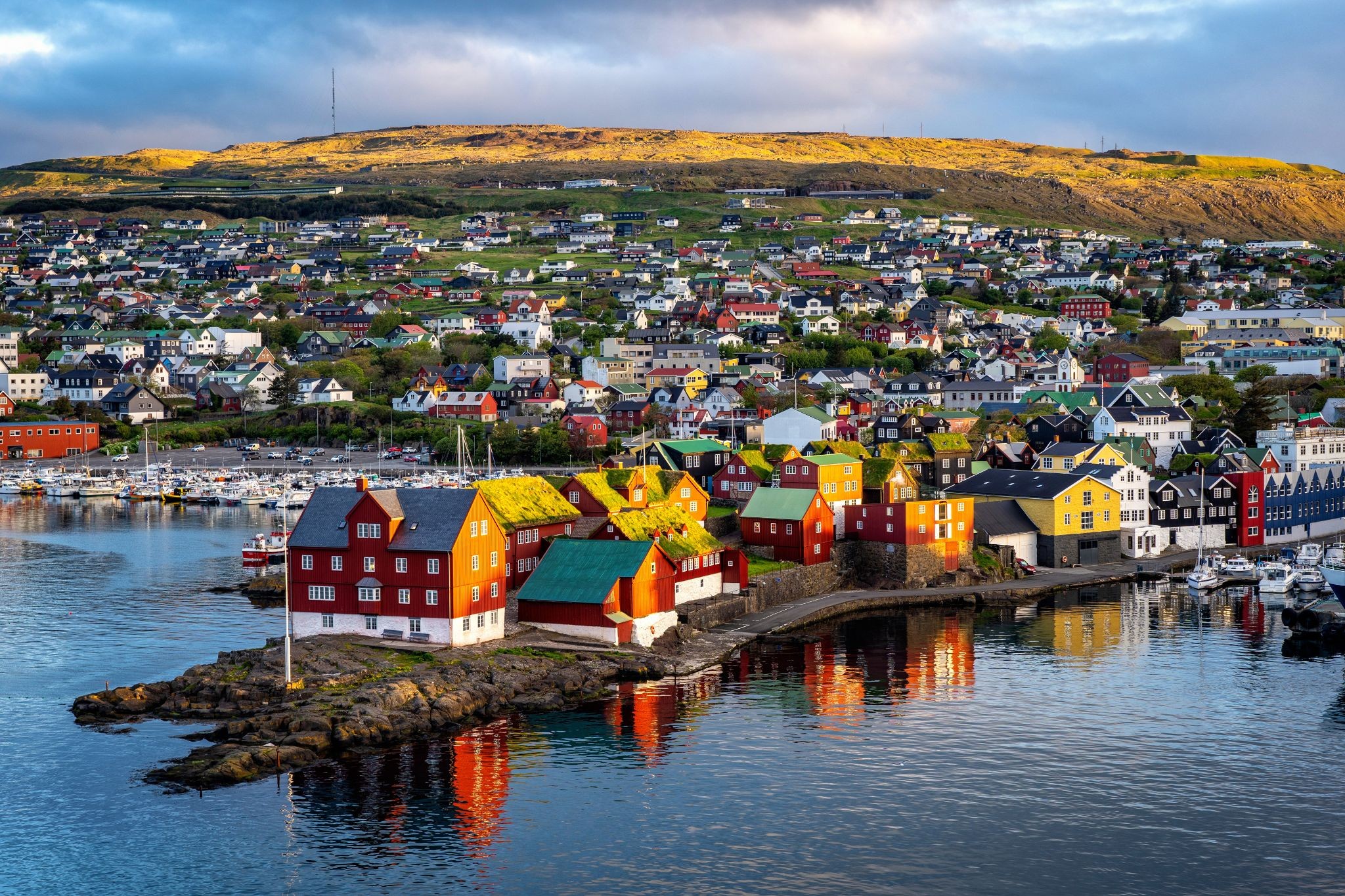
Tórshavn is the capital and largest town of the Faroe Islands. Tórshavn is in the southern part on the east coast of Streymoy. To the northwest of the city lies the 347-meter-high (1,138 ft) mountain Húsareyn, and to the southwest, the 350-meter-high (1,150 ft) Kirkjubøreyn. They are separated by the Sandá River. The town proper has a population of 13,089 (2017), and the greater urban area a population of 21,000.
The Norse established their parliament on the Tinganes peninsula in AD 850.[3] Tórshavn thus became the capital of the Faroe Islands and has remained so ever since. All through the Middle Ages the narrow peninsula jutting out into the sea made up the main part of Tórshavn. Early on, Tórshavn became the centre of the islands' trade monopoly, thereby being the only legal place for the islanders to sell and buy goods. In 1856, the trade monopoly was abolished and the islands were left open to free trade.
Reykjavík is the capital and largest city of Iceland. It is located in southwestern Iceland, on the southern shore of Faxa Bay. Its latitude is 64°08' N, making it the world's northernmost capital of a sovereign state. With a population of around 123,300 (and over 216,940 in the Capital Region), it is the heart of Iceland's cultural, economic and governmental activity, and is a popular tourist destination.
Reykjavík is believed to be the location of the first permanent settlement in Iceland, which, according to Ingólfr Arnarson, was established in AD 874. Until the 19th century, there was no urban development in the city location. The city was founded in 1786 as an official trading town and grew steadily over the following decades, as it transformed into a regional and later national centre of commerce, population, and governmental activities. It is among the cleanest, greenest, and safest cities in the world.